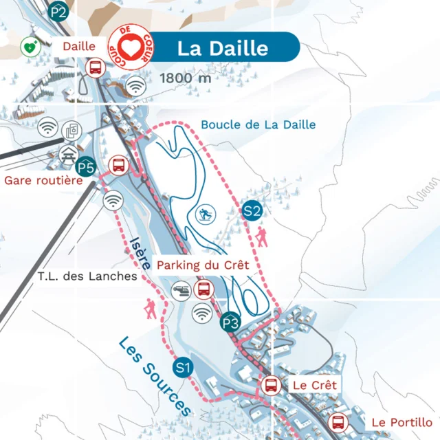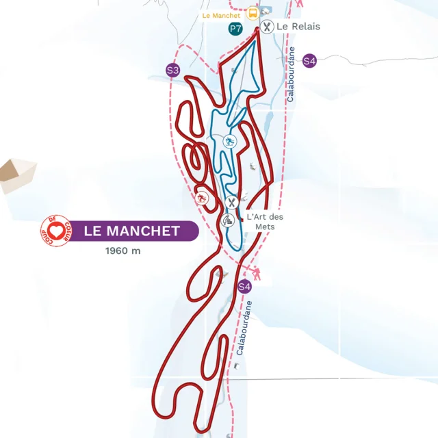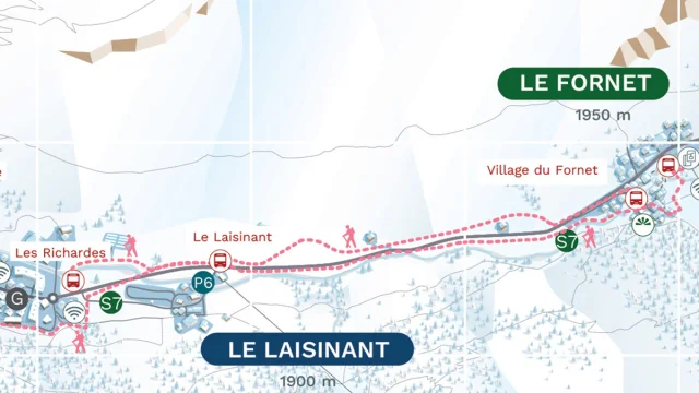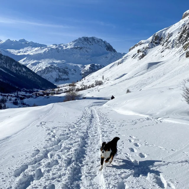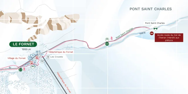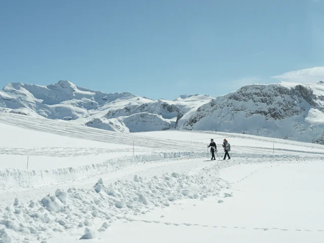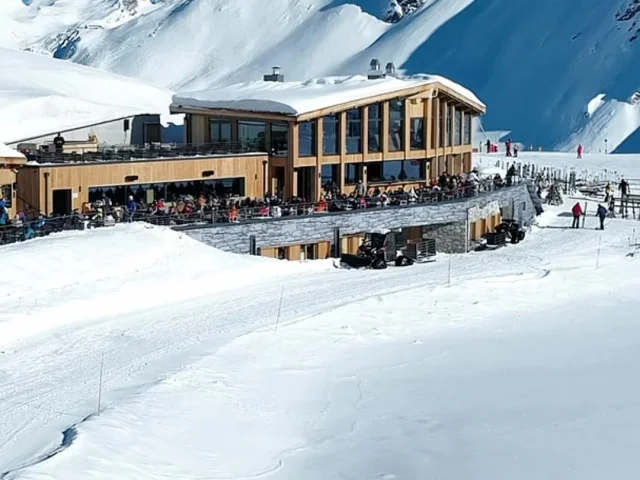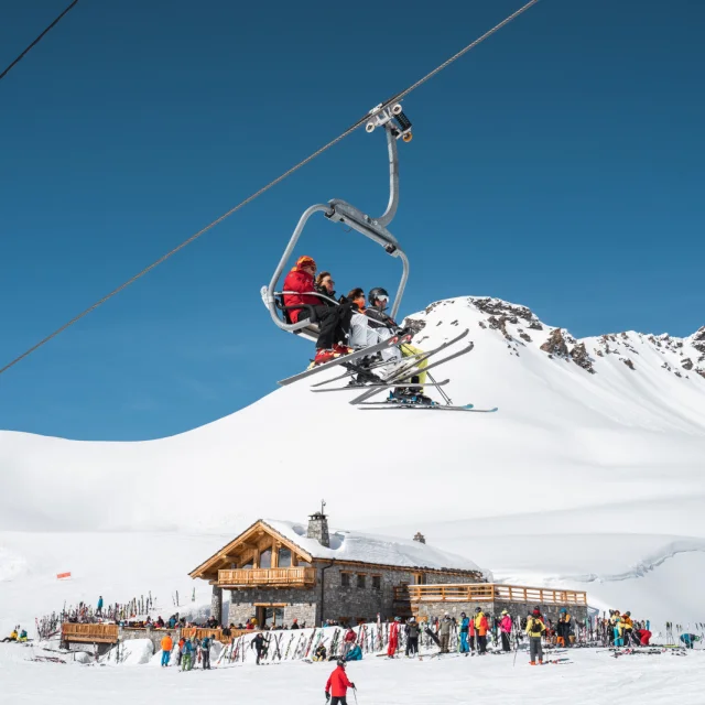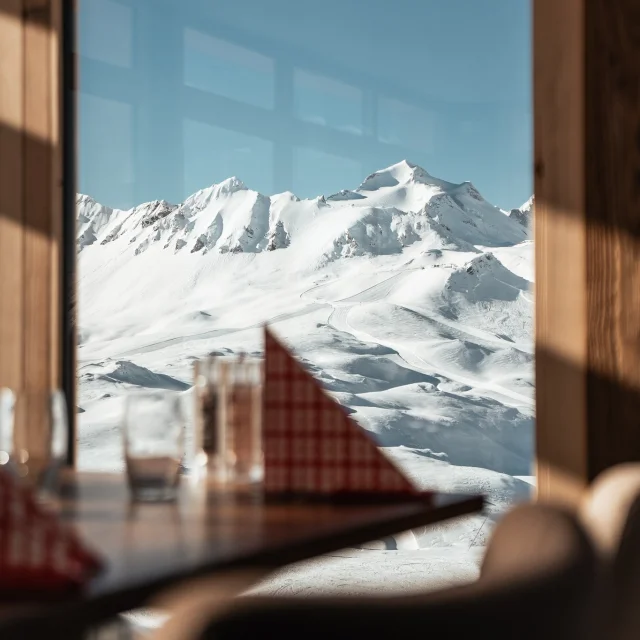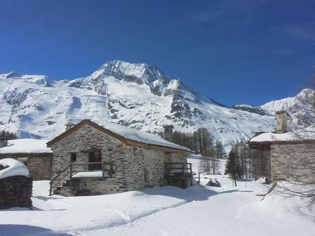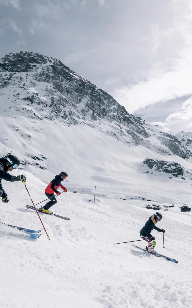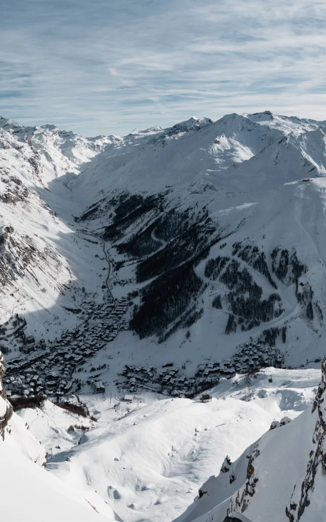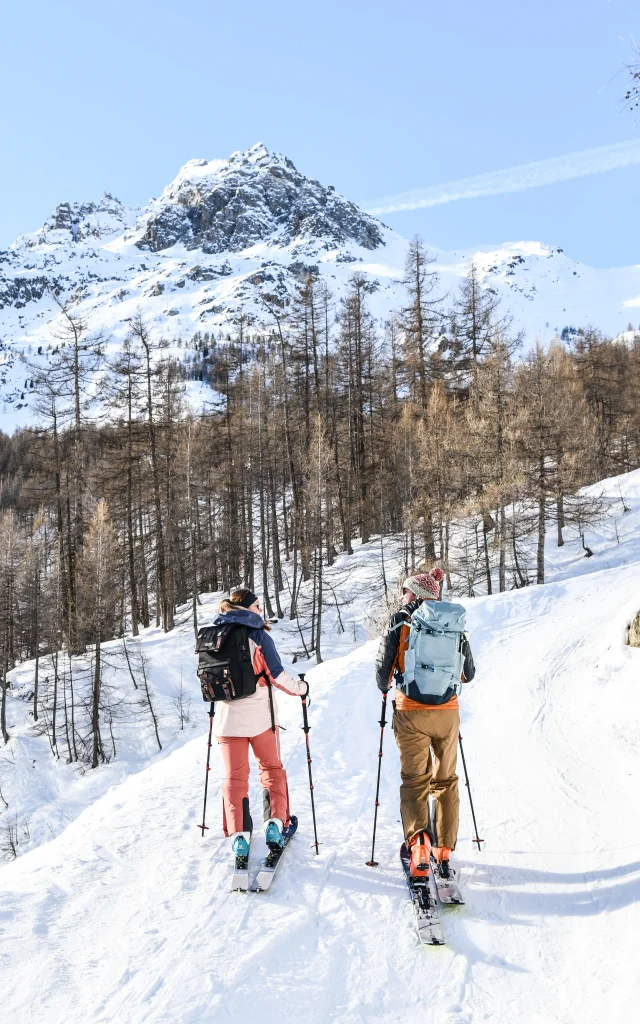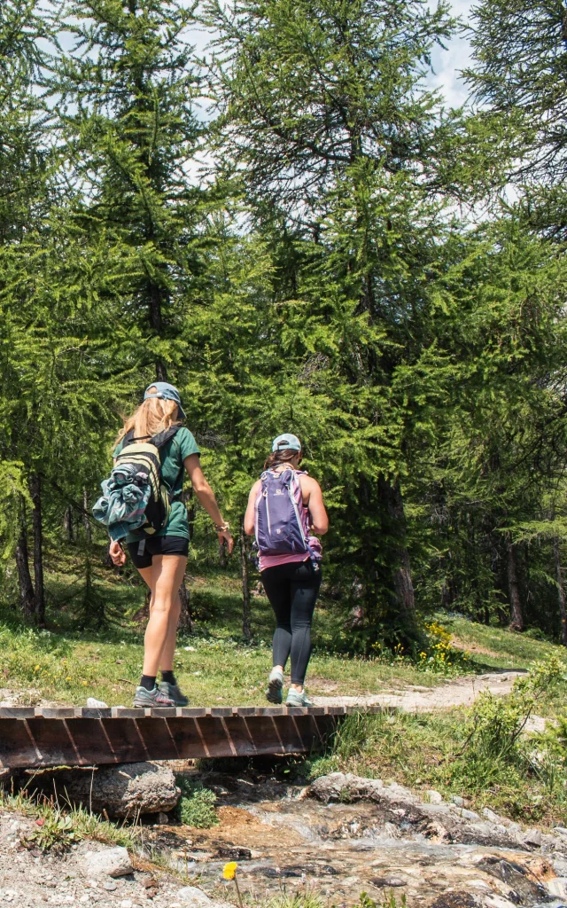
Itineraries to explore
Here you’ll find our itineraries around the village and up to the peaks for walking or snowshoeing.
Whether with family or friends, these routes are easy and accessible, so you’ll have plenty to see!
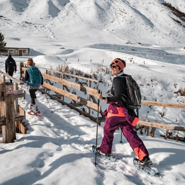
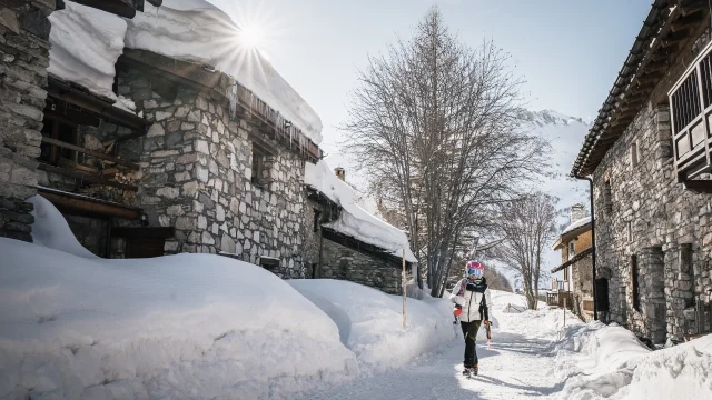
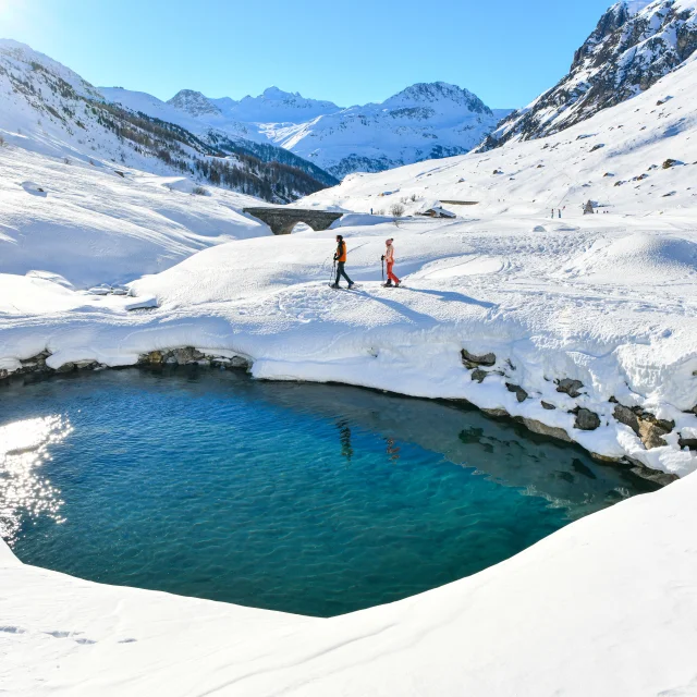
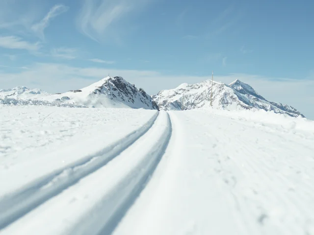
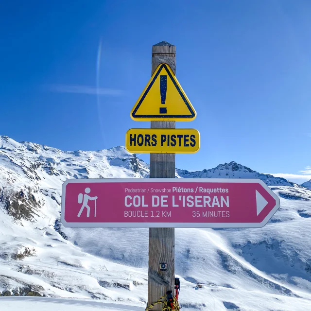
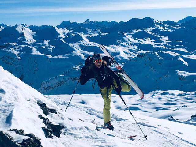
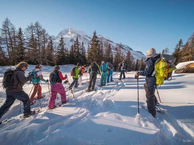
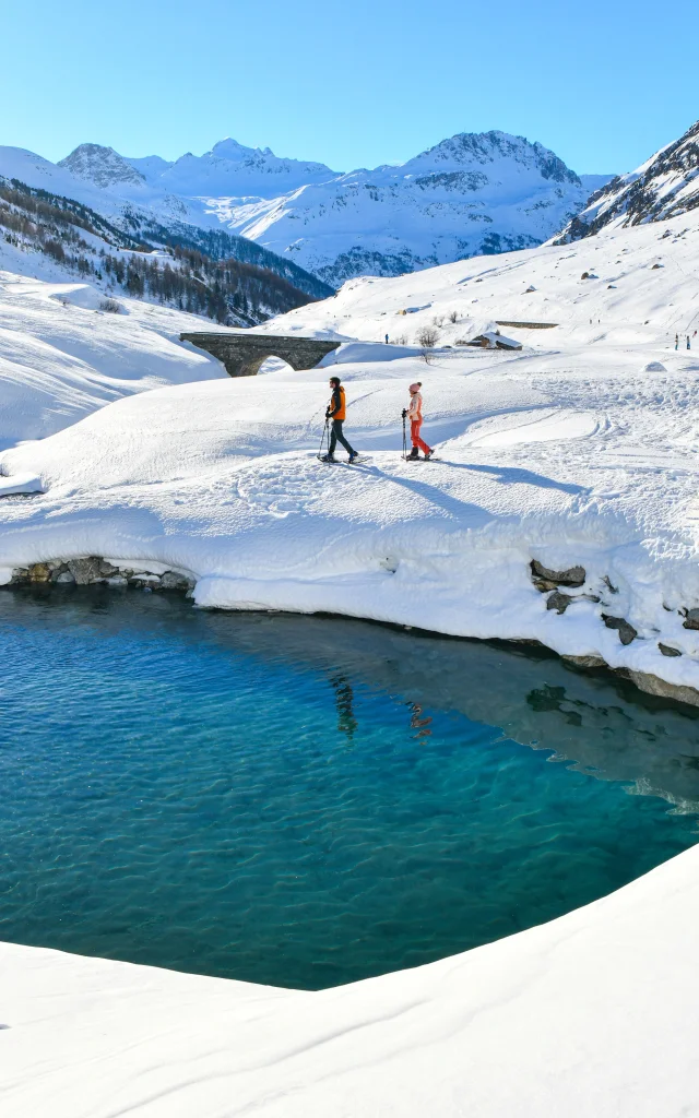
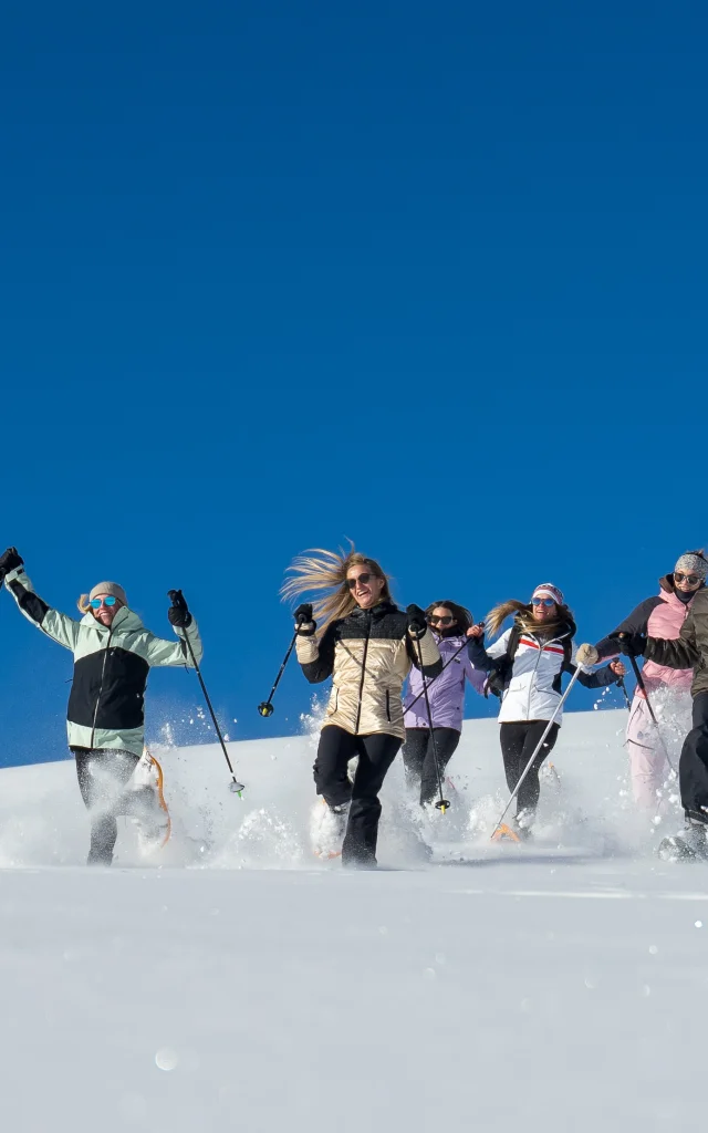
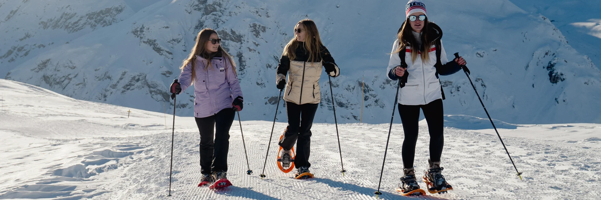
Guided snowshoe hikes
And if you want to get off the beaten track, we invite you to enlist the services of a mountain professional who can take you along forest paths or panoramic routes close to the Italian border or the glaciers of the Haute Tarentaise.
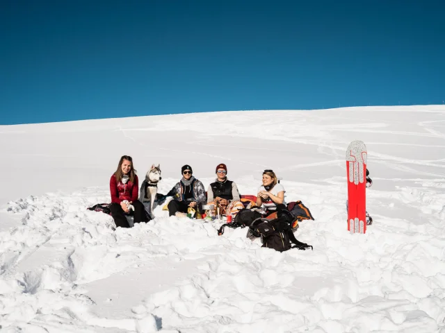
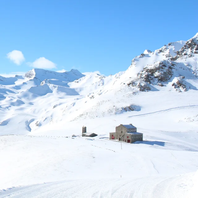
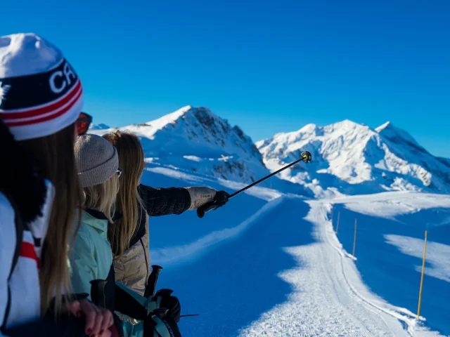 Snowshoe outing