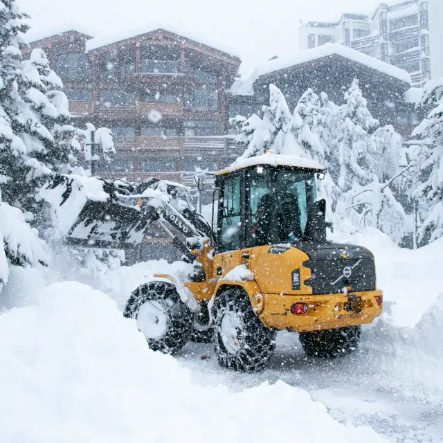
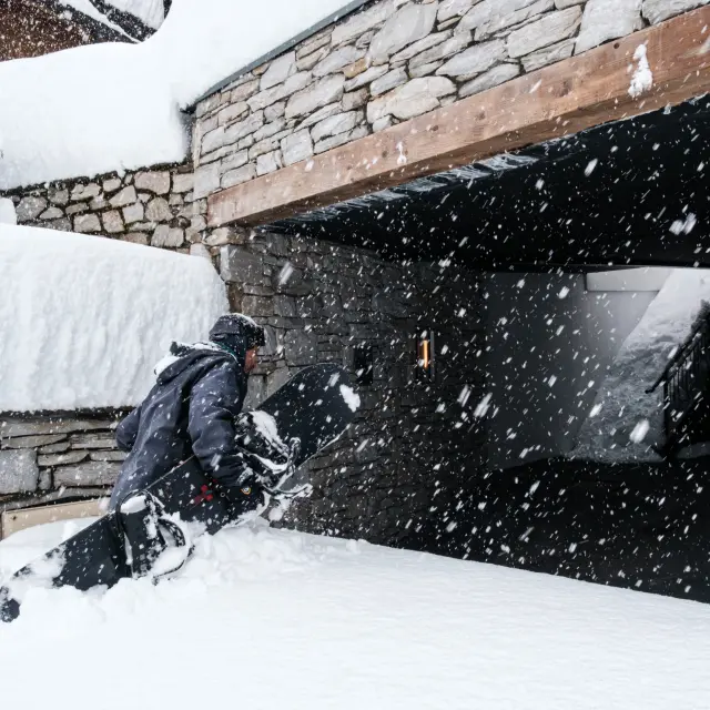
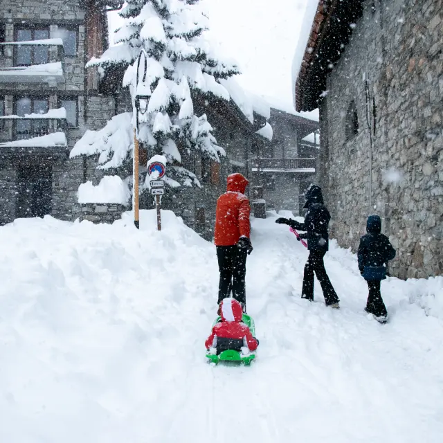
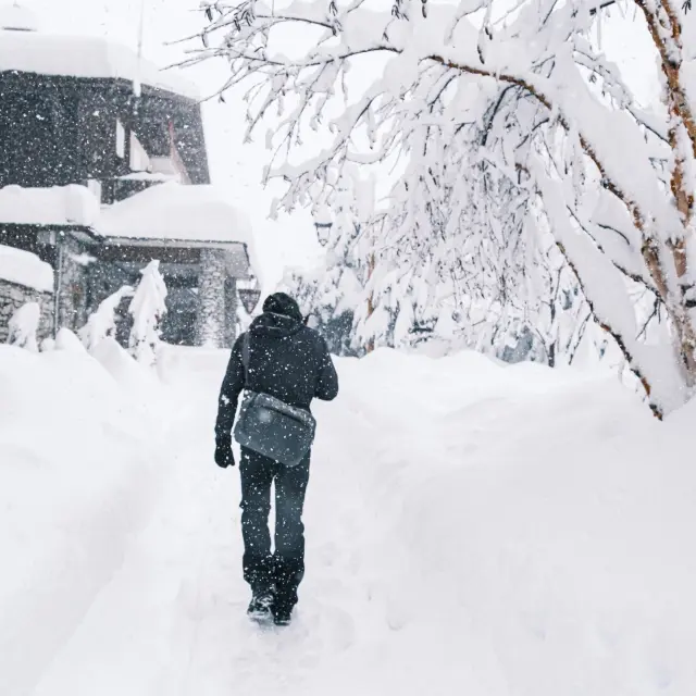
Images of snowfall of 17 April 2025
Images of snowfall of 17 April 2025
An Easterly Return is when moisture-laden clouds arrive from across the Italian border, resulting in heavy snowfall over certain parts of the French Alps.
In short:
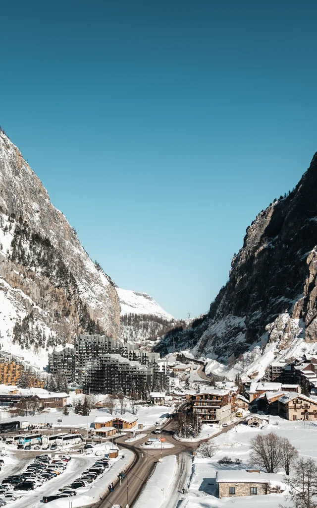
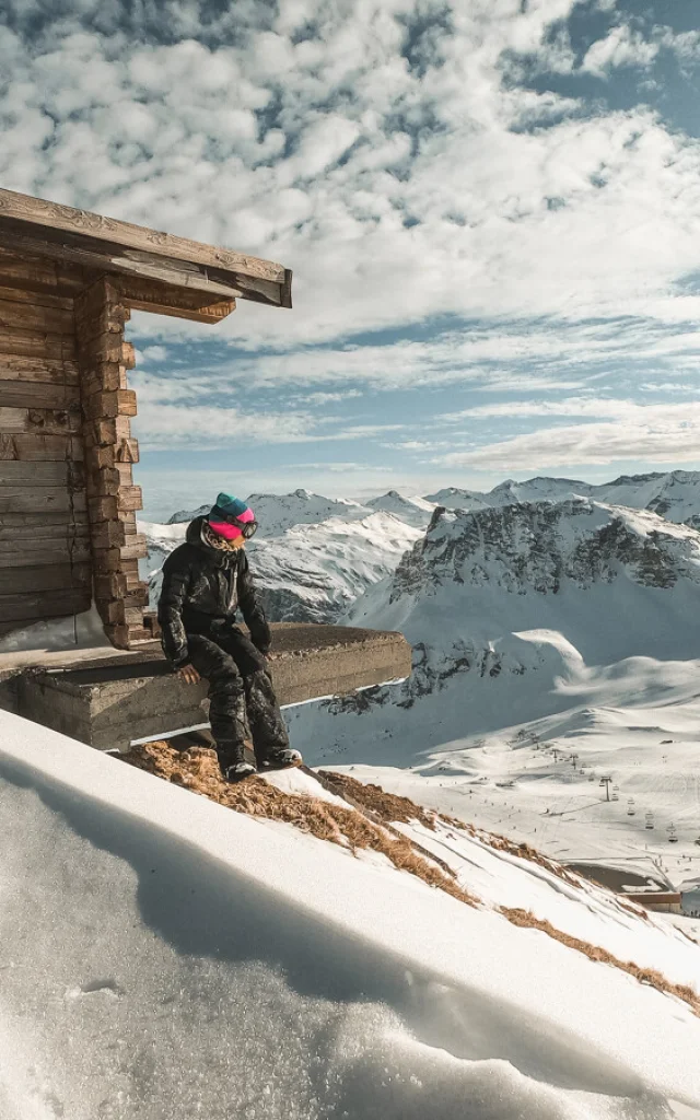
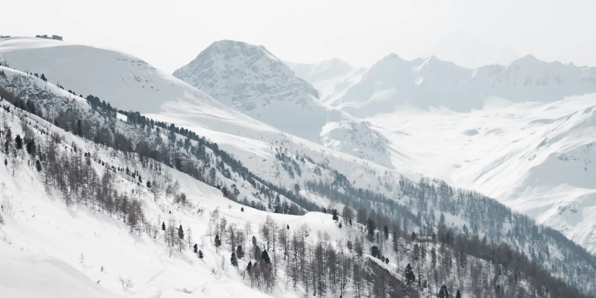
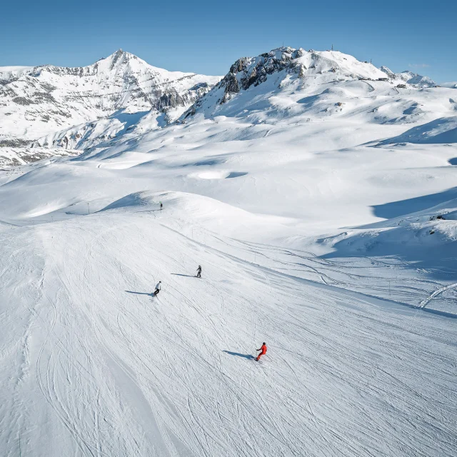
The Easterly Return phenomenon and the resort’s high elevation mean that Val d’Isère benefits from regular snowfall throughout the winter season. With 60% of its slopes located above 2,200 metres, the Tignes – Val d’Isère ski area boasts particularly good snow cover. Sometimes intense, these weather events help maintain good-quality snow cover and ensure a long skiing season. Even in spring, it isn’t unusual to see a covering of fresh snow across the ski area, inviting skiers to prolong the joys of the slopes in excellent conditions.
Because it is right on the Italian border, Val d’Isère is directly exposed to atmospheric disturbances arriving from Italy. An Easterly Return can affect the French side of the mountains and cause heavy snowfall over Val d’Isère and Tignes. This phenomenon can occur several times each winter and into the spring. It isn’t rare to see excellent snow cover on the ski slopes in April, following heavy snowfall that can be quite impressive.
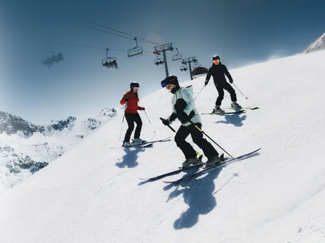
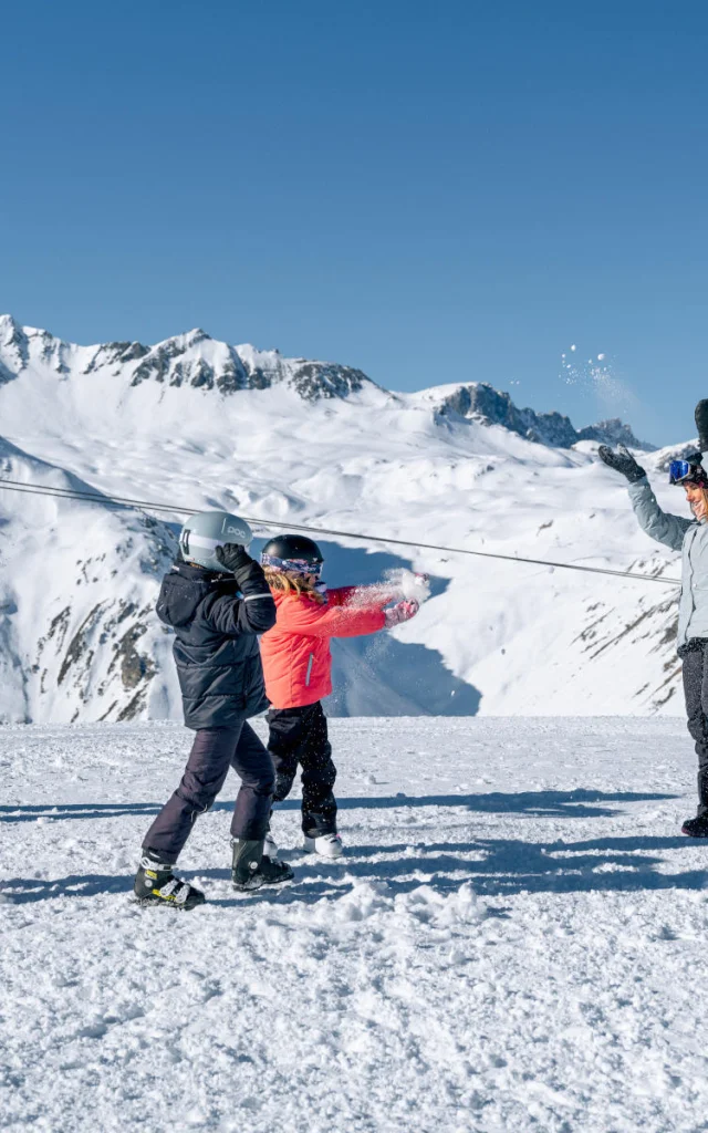
To skiers, an Easterly Return often means powder snow and breathtaking winter landscapes.
First and foremost, it is a period when the mountain professionals must spring into action in order to:
“Our proximity to the Italian border means we benefit from exceptional and highly localised snowfall. When weather systems move across Italy on a south-easterly flow, we are virtually the only resort to take full advantage of the “Easterly Return” phenomenon, as snowfall spills generously over onto the French side before rapidly diminishing.”
 Grand Ski Tristan Shu 21.01 50
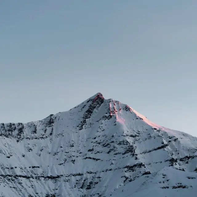
When an Easterly Return occurs, accumulated snowfall can be truly spectacular. As meteorologist Thomas Blanchard (meteoalpes.fr) explains, the phenomenon is triggered by a low-pressure system over the Mediterranean, which channels mild, moisture-laden air northwards. When this air mass collides with the mountains of Italy’s Piedmont region, it is forced to rise and condense, unleashing intense snowfall of up to three metres in just two days on the most exposed slopes. In particularly active episodes, these heavy snowfalls can extend as far as Val d’Isère and Tignes.
What if your holidays were all about sharing, pleasure and discovery? Let us inspire you to make your wildest dreams come true!